Our family's historical journey through time.

Notes:
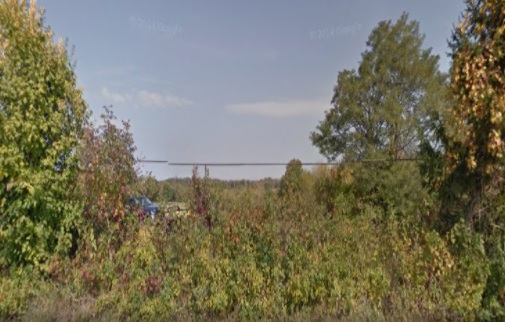
.5 miles South of Rabbit Hash Road on FM 338 (East Bend Road). The cemetery is on the right side of the road, across the fence.
If you have questions or problems with this site, please email me. Every effort has been made to document all sources. In some areas we have made speculative inclusions based on the best information available and we feel these provide clues to be confirmed or not.